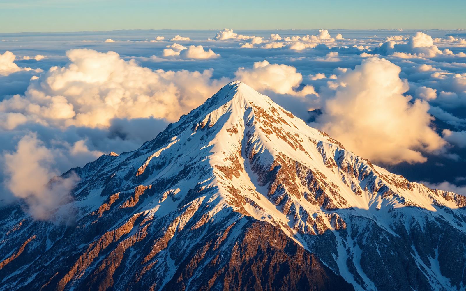
Pico Perdiguero · 3222 m
A border summit between Spain and France, one of the great three-thousanders of the Ésera valley.
- Maximum altitude
- 3222 m
- Massif
- Perdiguero - Literola
- Elevation gain
- 1500 m
- Total time
- 9 h - 11 h
- Difficulty
- High mountain
- Best season
- From July to September.
- Suitable for children
- No: high-mountain ascent
- Suitable for dogs
- Not recommended on glacial or ridge terrain
⚠ Check official sources before doing this activity.
Interactive map
Base cartography: Spanish National Geographic Institute (MTN, IGN Base and PNOA orthophoto) and OpenStreetMap. Este mapa es informativo y no sustituye cartografía oficial, señalización, experiencia de montaña ni dispositivos GPS. Comprueba meteorología, avisos y estado de la ruta antes de salir.
Summit, mountain huts, mountain lakes and catalogued places nearby with verified coordinates. We do not publish ascent tracks: use official maps and, if you lack experience, a certified guide.
Normal route
From the Remuñe valley or from Literola, via gullies and boulder ridges.
History
It was a benchmark summit for French Pyrenean mountaineers operating out of Luchon.
Geology
El valle de Benasque está excavado en el batolito granítico de la Maladeta y en materiales paleozoicos (pizarras, calizas y esquistos). El modelado actual es glaciar: circos, cubetas de sobreexcavación ocupadas por ibones, morrenas, valles en artesa y umbrales rocosos pulidos. En el macizo de la Maladeta se conservan los últimos glaciares del Pirineo, en fuerte retroceso.
Landscape
High granite mountains with glacial cirques, hanging mountain lakes, permanent snowfields and sharp ridges above the Ésera valley.
Wildlife
- Sarrio
- Marmota alpina
- Quebrantahuesos
- Buitre leonado
- Urogallo
- Trucha común
Flora
- Pino negro
- Abeto blanco
- Rododendro ferrugíneo
- Genciana
- Pastos alpinos
Curiosities
- From its summit you can see much of the central Pyrenees on both sides of the border.
Recommended gear
- Helmet
- Crampons and ice axe in spring
- Navigation equipment
Trail conditions
High-mountain terrain: scree, boulders, snowfields and, in some cases, glacier and exposed ridges. Conditions change every season.
Hazards
- Very long day out
- Unstable scree
- Frequent fog at the border
Support mountain huts
- Refugio de Estós
- Refugio del Portillón (France)
Weather
We do not publish our own forecasts. The mountain forecast for the area (Aragonese Pyrenees / Posets-Maladeta massif) is issued by AEMET, and snow conditions and avalanche risk should be checked in the official avalanche bulletin. Afternoon storms are common from June to September and conditions can change within hours.
Posets-Maladeta Natural Park rules
- Much of the valley lies within the Posets-Maladeta Natural Park: wild camping is forbidden (only authorised bivouac above 2,000 m between dusk and dawn, under current regulations).
- No fires, no collecting flora, fauna or minerals, and no leaving marked trails in sensitive areas.
- Dogs must be kept on a leash. In grazing areas and areas with protected wildlife their presence may be restricted.
- Drones require express authorisation from the Natural Park's managing body.
- Vehicle access to the Hospital de Benasque and La Besurta is regulated in summer: check the official shuttle service.
- Take all your rubbish with you, including organic waste and toilet paper. Mountain emergencies: 112.
Gallery
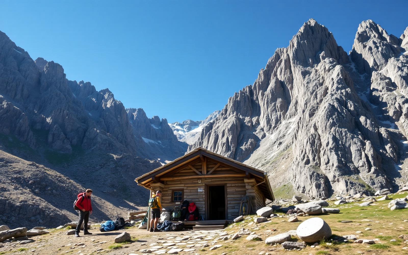
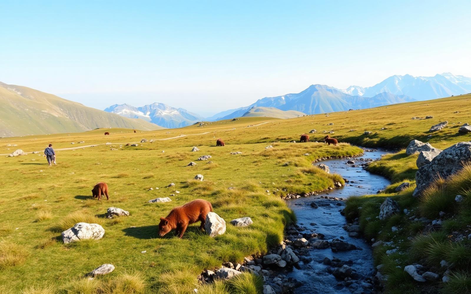
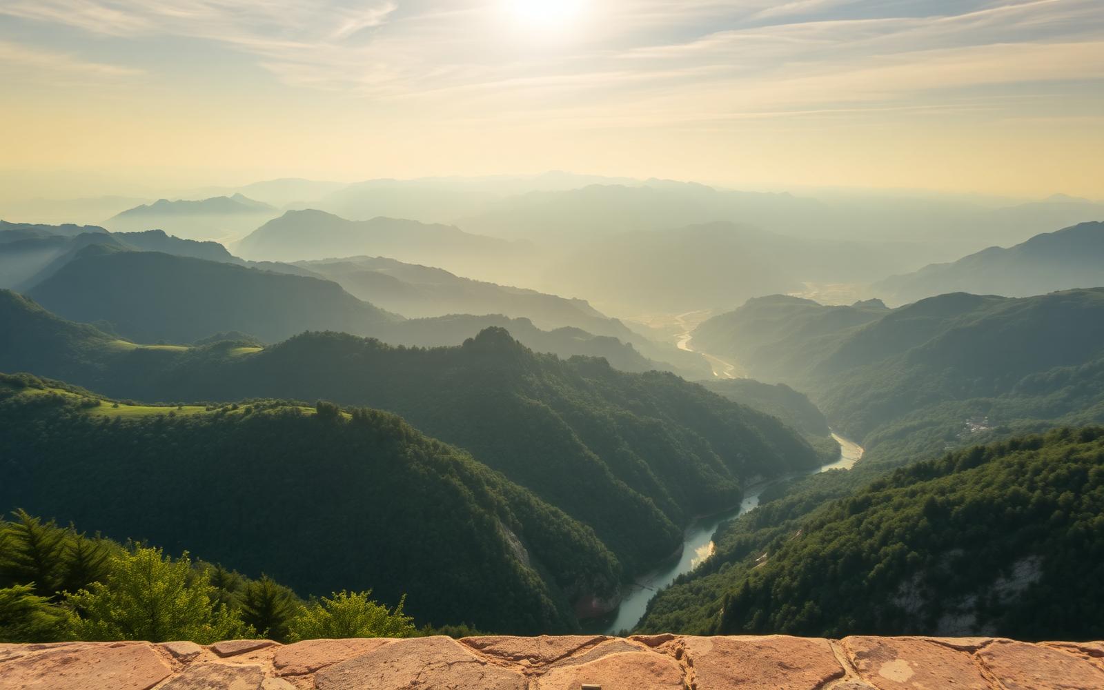
Illustrative images of Benasque Valley landscapes created for this guide; they are not documentary photographs of Pico Perdiguero. If you have your own photographs of the place, they can replace these.
Nearby
Mountain lakes
- Ibones de las Llosas3.6 km
- Ibón de Escarpinosa4.8 km
- Ibón Grande de Batisielles5.2 km
- Ibón de Gorgutes5.7 km
- Ibón de Llardaneta9.2 km
- Ibón de Cregüeña10.4 km
Mountain huts
- Refugio de Estós5.1 km
Waterfalls
- Cascada de Remuñe5.6 km
Trails
- Ibón de Gorgutes7.8 km
- Ibones de Batisielles y Escarpinosa8.0 km
- Ibón de Cregüeña10.4 km
Viewpoints
Peaks
Restaurants, hotels and services
We do not publish business names without a verifiable source. Check the valley's official directory in food, accommodation and mountain huts.
Automatic planner
Half day
Short morning or afternoon outing, with time to eat in the valley.
- Early breakfast in Benasque and buy water and food.
- Drive or shuttle to the start of the chosen route.
- 2 to 3 hour walk with stops for photos.
- Return to the valley and visit the old town of Benasque or Anciles.
Full day
Long mountain day making the most of the daylight from early on.
- Set off before sunrise to avoid the heat and afternoon storms.
- Main route with a light meal on the way.
- Descend early: storms often build up by mid-afternoon in summer.
- Dinner and rest in the valley.
Families
Short routes, with water nearby and no exposed sections.
- Choose a route under 3 hours with gentle elevation gain.
- Baby carrier instead of a pushchair: the trails are stony.
- Picnic stop by a river or a meadow.
- Rainy-day alternative: valley villages and Romanesque heritage.
Experts
High mountain terrain with significant elevation gain, technical ground and specific gear.
- Check AEMET's mountain forecast and the avalanche bulletin if there is snow.
- Overnight in a mountain hut to shorten the summit day.
- High mountain gear and experience on glacial terrain or ridges.
- Leave word of your route and expected return time.
Plans generated automatically from the distance, elevation gain and difficulty of the catalogued trails. They do not include timetables, prices or opening hours: check official sources before doing this activity.
Related peaks
Pico Maladeta
High mountainA granite summit in the massif of the same name, with an alpine feel and outstanding views of the Aneto.
Pico Posets (Llardana)
High mountainThe second-highest peak in the Pyrenees, with long and scenic ascents from the Eriste valley or the Estós valley.
Pico Aneto
High mountainThe roof of the Pyrenees. A classic glacier ascent from La Renclusa culminating at the Paso de Mahoma, an exposed ridge that gives access to the summit.